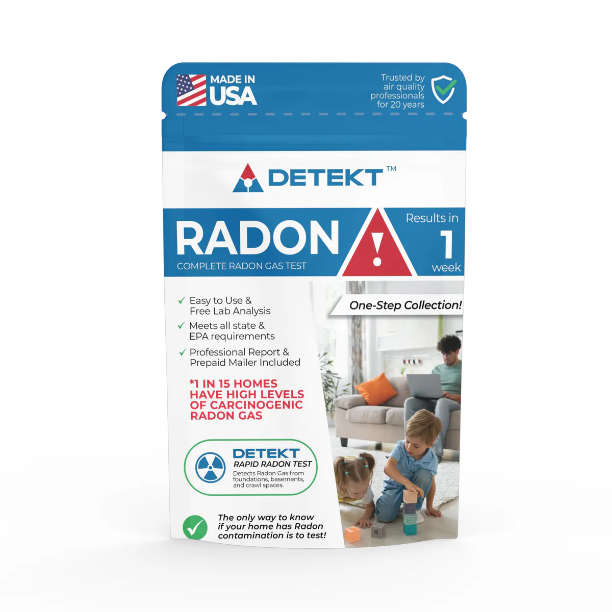
Short-term kit
Radon Short Term Test Kit short-term charcoal radon test kit, lab fee included
- Lab fee included
Method: Charcoal
In home: 2 to 7 days
Locations and reports
EPA puts Catahoula Parish in Zone 3, its lowest radon zone, and most reported tests there come back low, though 0.0% of 63 (2021) reached 4 pCi/L. Homes with elevated levels occur in all three zones, so only a test measures yours.
Data checked By Radon411Methodology
Share at 4+ pCi/L
0.0%
3.9 pts below LA
63 tests, 2021
Median result
0.2pCi/L
Below action level
Midpoint of the tests, 2021
Tests reported
63
12th of 14 by tests
Reported to CDC before any fix, 2021
EPA radon zone
Zone 3
Lower potential
1 highest, 3 lowest
EPA predicts under 2 pCi/L indoors
Rank in Louisiana
3 of 14
Top quarter
By share, of 14 with 30+ tests
Read a result for Catahoula Parish
EPA’s own thresholds; the figures are the area’s, never this home’s.
EPA’s reading of 0.2 pCi/L
Below 2 pCi/L
This result is below 2 pCi/L, the level at which EPA says a fix should be considered. Catahoula Parish's median reported result, 2021.
The data
Catahoula Parish, At a glance
Predicted: EPA radon zone
USGS geologic potential: Low across 100% of the county's area
Predicted: EPA Map of Radon Zones
Measured: tests reported to CDC
Of 63 pre-mitigation tests reported to CDC, not homes in this area.
| Result band | Tests Measured | Share Measured |
|---|---|---|
| Under 2 pCi/L | 63 | 100.0% |
| 2 to 4 pCi/L | 0 | 0.0% |
| 4 pCi/L and above | 0 | 0.0% |
These are the 63 tests reported to CDC for Catahoula Parish over 2021, many from homes being sold or already suspected of a problem: they describe the parish's reported tests, not this house.
Measured: CDC tracking data. Measured data period: 2021.
Catahoula Parish, Compared
Only 0 of 63 radon tests reported for Catahoula Parish in 2021 reached 4 pCi/L (0.0%). The median result, 0.2 pCi/L, sits below 2, well under EPA's 4 pCi/L action level, and the top reported result was 0.2 pCi/L.
Across 21 Louisiana counties pooled together, 3.9% of tests reached that level, so Catahoula Parish runs 3.9 points below its state. Against the national pool of 24.4%, the gap is 24.4 points lower. Its place in the state: 3rd of 14 Louisiana counties with 30 or more tests for the same period.
Zone 3 on EPA's map (predicted average under 2 pCi/L) and a 0.0% share point the same way here. Avoyelles Parish, the one bordering county with a figure for the same period, reported 0.0%.
Below the action level, 63 tests (100.0%) came in under 2 pCi/L, against 92.3% statewide, and 0 tests (0.0%) fell between 2 and 4, against 3.8% statewide. USGS geology rates 100% of the county's land low radon potential.
Pooled shares: Radon411's sum of CDC's county counts for one period.
Catahoula Parish, Geology
USGS's geologic map puts all of Catahoula Parish's mapped land in one class: low radon potential. All of it lies in the area the map calls Floodplain, to which USGS gives a radon index of 7, in the low band (5 to 8).
| Area | The rock, in USGS's words | Potential | Radon index | Share of land |
|---|---|---|---|---|
| Floodplain | Alluvium, marsh, silt, and clay. | Low | 7 | 100% |
Names, descriptions and indexes: U.S. Geological Survey, Geologic Radon Potential Map (2025). Shares: Radon411, from the map cut to the boundary.
Neither Catahoula Parish nor Louisiana as a whole has any land USGS rates above low potential. None of the 6 parishes that border it has any moderate-potential ground either.
The map rates the ground, not the air in any home.
Local help
Catahoula Parish, Local resources
What it means
Catahoula Parish, Questions
In 2021, 0.0% of the radon tests reported to CDC for Catahoula Parish, Louisiana were at or above 4 pCi/L, and the median reported pre-mitigation result was 0.2 pCi/L. Of 14 Louisiana counties with 30 or more tests for the same period, 2 reported a higher share; pooled, the state comes to 3.9%.
Catahoula Parish borders 6 parishes: LaSalle Parish, Concordia Parish, Avoyelles Parish, Caldwell Parish, Franklin Parish and Tensas Parish.
Products
Catahoula Parish, Products
In Catahoula Parish, 0.0% of 63 tests reported to CDC in 2021 reached 4 pCi/L, against 3.9% pooled across Louisiana. Zone 3 is the lowest label, yet homes at or above 4 pCi/L occur in every zone: a short-term kit (2 to 90 days) is the quick first check in Catahoula Parish.
Short-term kit
Method: Charcoal
In home: 2 to 7 days

Long-term kit
Method: Alpha track
In home: 90 days to 12 months
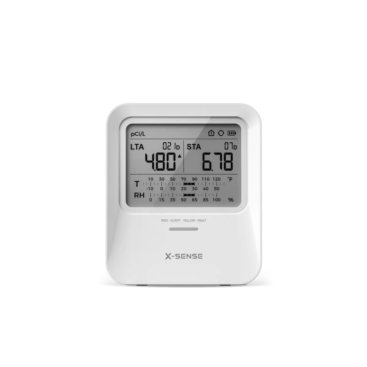
MonitorX-Sense
Method: Alpha spectrometry
First reading: Within 24 hours
Test kits and monitors: 1 of 3
Explore
Catahoula Parish, Bordering parishes
0.0%at or above 4 pCi/L
Median 0.2 pCi/L · 216 tests · 0.0 points above Catahoula Parish
0.0%at or above 4 pCi/L
Median 1.0 pCi/L · 3 tests · 0.0 points above Catahoula Parish
No CDC figure for 2021; its page reads it against its own neighbours.
No CDC figure for 2021; its page reads it against its own neighbours.
No CDC figure for 2021; its page reads it against its own neighbours.
No CDC figure for 2021; its page reads it against its own neighbours.
Catahoula Parish, Cities and towns
Catahoula Parish has been losing residents: from 8,846 in 2020 to 8,223 on July 1, 2025, a fall of 7.0% by the Census Bureau's estimates. That works out to 12 people per square mile of land. No town dominates: Jonesville, the largest, has 1,531 residents, 18.6% of the total. Together its 3 incorporated places hold 25.8% of those residents; the other 74.2% live outside any of them. Testing is reported here more often than across the state: CDC's 63 reported tests for 2021 come to 7.7 for every 1,000 residents (2025 estimate), against 0.7 for Louisiana.
From Jonesville to Harrisonburg, CDC publishes no figure by town: each reads Catahoula Parish's.
| Place | Residents | Since 2020 | Share of residents |
|---|---|---|---|
| Jonesville | 1,531 | −10.8% | 18.6% |
| Sicily Island | 330 | −9.6% | 4.0% |
| Harrisonburg | 261 | −7.4% | 3.2% |
3 incorporated places, as listed in the U.S. Census Bureau’s 2020 place reference files. Residents: U.S. Census Bureau population estimates for July 1, 2025 (Vintage 2025).
Catahoula Parish, Homes
Of Catahoula Parish's 4,447 homes, 56% are detached houses, against 65% across Louisiana; 36% are mobile homes. Half of its homes were built before 1979, close to Louisiana's 1982: 16% date from before 1960 and 20% from 2000 or later. Owners live in 76% of the occupied homes (Louisiana: 67%), so for most households a test and a fix are their own to order.
| Homes | Catahoula Parish | Louisiana |
|---|---|---|
| Housing units | 4,447 | 2,094,002 |
| Detached houses | 56% | 65% |
| In buildings of 5 or more | 5% | 11% |
| Mobile homes | 36% | 13% |
| Built before 1960 | 16% | 19% |
| Built since 2000 | 20% | 27% |
| Middle year built | 1979 | 1982 |
| Owner-occupied | 76% | 67% |
Census Bureau, American Community Survey, 2019 to 2023: estimates from a sample of homes, looser for a small place. Shares by Radon411.