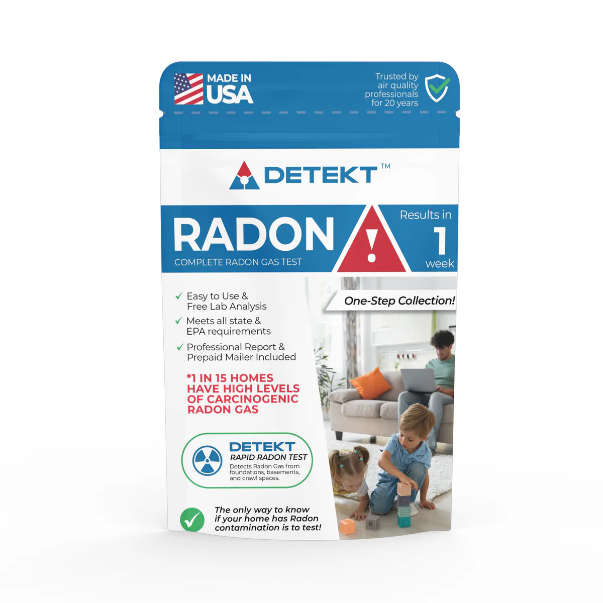
Short-term kit
Radon Short Term Test Kit short-term charcoal radon test kit, lab fee included
- Lab fee included
Method: Charcoal
In home: 2 to 7 days
Locations and reports
EPA puts San Mateo County in Zone 2, its middle radon zone, and most reported tests there come back low, though 9.2% of 468 (2008 to 2017, laboratory totals) reached 4 pCi/L. Homes with elevated levels occur in all three zones, so only a test measures yours.
Data checked By Radon411Methodology
Share at 4+ pCi/L
9.2%
1.1 pts below CA
468 tests, 2008 to 2017
Median result
0.9pCi/L
Below action level
Midpoint of the tests, 2008 to 2017
Tests reported
468
5th of 33 by tests
Reported to CDC before any fix, 2008 to 2017
EPA radon zone
Zone 2
Moderate potential
1 highest, 3 lowest
EPA predicts 2 to 4 pCi/L indoors
Rank in California
21 of 33
Middle half
By share, of 33 with 30+ tests
Read a result for San Mateo County
EPA’s own thresholds; the figures are the area’s, never this home’s.
EPA’s reading of 0.9 pCi/L
Below 2 pCi/L
This result is below 2 pCi/L, the level at which EPA says a fix should be considered. San Mateo County's median reported result, 2008 to 2017.
The data
San Mateo County, At a glance
Predicted: EPA radon zone
San Mateo County is a
USGS geologic potential: Moderate across 99% of the county's area
Predicted: EPA Map of Radon Zones
Measured: tests reported to CDC
Of 468 pre-mitigation tests reported to CDC, not homes in this area.
| Result band | Tests Measured | Share Measured |
|---|---|---|
| Under 2 pCi/L | 347 | 74.1% |
| 2 to 4 pCi/L | 78 | 16.7% |
| 4 pCi/L and above | 43 | 9.2% |
These are the 468 tests reported to CDC for San Mateo County over 2008 to 2017 (laboratory totals), many from homes being sold or already suspected of a problem: they describe the county's reported tests, not this house.
Measured: CDC tracking data. Figure above: 2008 to 2017, laboratory. Measured data period: 2005 to 2017 (every CDC figure on file).
San Mateo County, Compared
San Mateo County reports fewer high tests than California overall. 9.2% of its 468 tests over the 2008 to 2017 laboratory totals were at or above 4 pCi/L. That is 1.1 points below the 10.3% pooled from 56 California counties.
Ordered from highest share down, it comes 21st of 33 California counties with 30 or more tests for the same period. Nationally, every county with a figure for the same period pools to 35.7%; San Mateo County sits 26.5 points below it.
Next door, the shares run from 2.8% in San Francisco County to 21.9% in Santa Cruz County, with San Francisco County below San Mateo County. The reported tests do not follow EPA's Zone 2 label for San Mateo County (predicted average between 2 and 4 pCi/L): 9.2% of them reached 4 pCi/L, fewer than that label suggests.
Half the tests came in under 0.9 pCi/L and half over it; the single highest reached 58.2 pCi/L. The rest split 74.1% under 2 pCi/L and 16.7% from 2 to 4 (California: 76.8% and 12.9%).
CDC's ten-year totals for San Mateo County went from 498 tests (2005 to 2014) to 468 (2008 to 2017), the share going from 9.6% to 9.2%.
Pooled shares: Radon411's sum of CDC's county counts for one period.
San Mateo County, Geology
USGS's geologic map puts all of San Mateo County's mapped land in one class: moderate radon potential. 98.5% of it lies in the area the map calls Southern Coast Ranges, to which USGS gives a radon index of 9, in the moderate band (9 to 11).
| Area | The rock, in USGS's words | Potential | Radon index | Share of land |
|---|---|---|---|---|
| Southern Coast Ranges | Metamorphosed marine sedimentary rocks, ultramafic rocks, Triasic metamorphic rocks, Mesozoic granitic rocks, and a series of fault-bounded linear basins in which Teriary marine and continental sedimentary rocks were deposited. | Moderate | 9 | 98.5% |
Names, descriptions and indexes: U.S. Geological Survey, Geologic Radon Potential Map (2025). Shares: Radon411, from the map cut to the boundary.
Across California 0.1% of the land is rated high; none of San Mateo County's is. Of the 3 counties that border it, 2 have more moderate-potential ground, Santa Clara County the most at 99.9%.
The map rates the ground, not the air in any home.
Local help
San Mateo County, Local resources
Discounted test kits can be purchased through our partner laboratory, Alpha Energy, for $14.95.
The Radon Program certifies all radon service providers operating in California.
What it means
San Mateo County, Questions
Over the 2008 to 2017 laboratory totals, 9.2% of the radon tests reported to CDC for San Mateo County, California were at or above 4 pCi/L, and the median reported pre-mitigation result was 0.9 pCi/L. Of 33 California counties with 30 or more tests for the same period, 20 reported a higher share; pooled, the state comes to 10.3%.
San Mateo County borders 3 counties: San Francisco County, Santa Cruz County and Santa Clara County.
Products
San Mateo County, Products
In San Mateo County, 9.2% of 468 tests reported to CDC over the 2008 to 2017 laboratory totals reached 4 pCi/L, against 10.3% pooled across California. In Zone 2 a short-term kit (2 to 90 days) is the quick first check in San Mateo County; a long-term test tells the year-round average.
Short-term kit
Method: Charcoal
In home: 2 to 7 days

Long-term kit
Method: Alpha track
In home: 90 days to 12 months
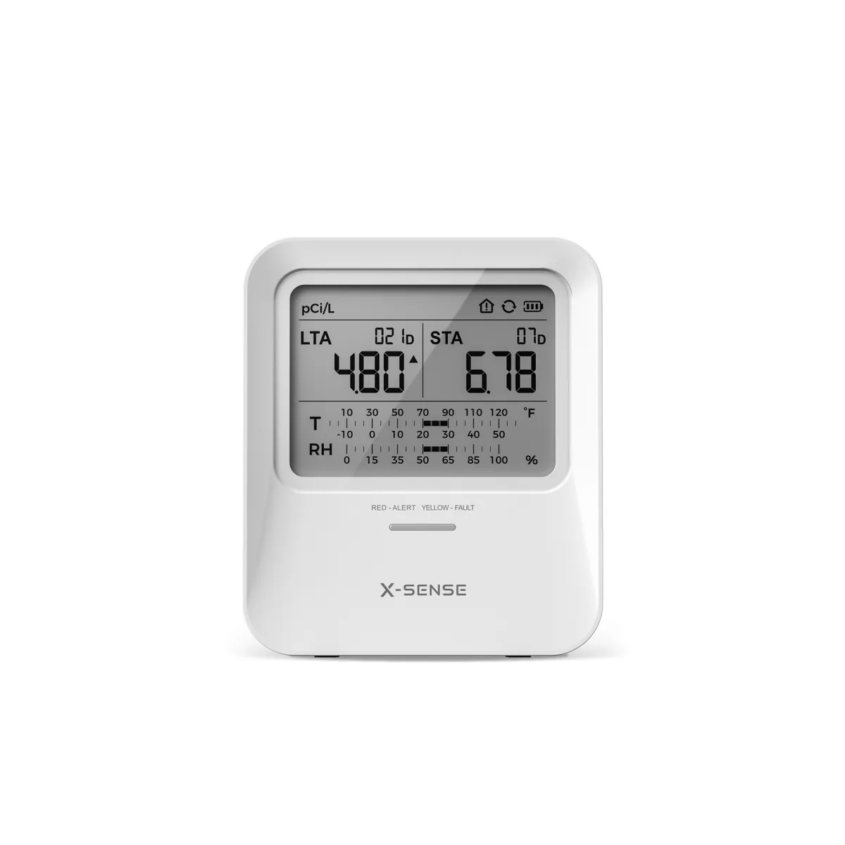
MonitorX-Sense
Method: Alpha spectrometry
First reading: Within 24 hours
Test kits and monitors: 1 of 3
Explore
San Mateo County, Bordering counties
21.9%at or above 4 pCi/L
Median 1.2 pCi/L · 105 tests · 12.7 points above San Mateo County
9.2%at or above 4 pCi/L
Median 0.9 pCi/L · 793 tests · 0.0 points above San Mateo County
2.8%at or above 4 pCi/L
Median 0.5 pCi/L · 246 tests · 6.4 points below San Mateo County
San Mateo County, Cities and towns
About 743,568 people live in San Mateo County by the Census Bureau's estimate for July 1, 2025, 19,071 fewer than in 2020 (−2.5%). Packed into its land, that is 1,657 people per square mile. No town dominates: San Mateo, the largest, has 103,337 residents, 13.9% of the total. Together its 20 incorporated places hold 91.8% of those residents; the other 8.2% live outside any of them. Testing is reported here more often than across the state: CDC's 468 reported tests for 2008 to 2017 come to 0.6 for every 1,000 residents (2025 estimate), against 0.2 for California.
From San Mateo to Colma, CDC publishes no figure by town: each reads San Mateo County's.
| Place | Residents | Since 2020 | Share of residents |
|---|---|---|---|
| San Mateo | 103,337 | −2.2% | 13.9% |
| Daly City | 101,261 | −3.4% | 13.6% |
| Redwood City | 82,178 | −2.0% | 11.1% |
| South San Francisco | 64,941 | −1.5% | 8.7% |
| San Bruno | 42,305 | −3.3% | 5.7% |
| Pacifica | 36,890 | −4.3% | 5.0% |
| Menlo Park | 32,713 | −2.9% | 4.4% |
| Foster City | 32,411 | −3.9% | 4.4% |
| Burlingame | 31,929 | +2.0% | 4.3% |
| San Carlos | 29,261 | −4.5% | 3.9% |
| East Palo Alto | 28,872 | −3.6% | 3.9% |
| Belmont | 28,752 | +1.7% | 3.9% |
20 incorporated places, as listed in the U.S. Census Bureau’s 2020 place reference files. Residents: U.S. Census Bureau population estimates for July 1, 2025 (Vintage 2025).
San Mateo County, Homes
Of San Mateo County's 285,558 homes, 55% are detached houses, against 57% across California; 28% are in buildings of five or more homes. The homes are older than California's as a whole: half were built before 1966 (1976 for California), and 41% date from before 1960. 59% of occupied homes are lived in by their owner (California: 56%); in the rest a tenant can run a test, but a fix is the landlord's to make.
| Homes | San Mateo County | California |
|---|---|---|
| Housing units | 285,558 | 14,532,683 |
| Detached houses | 55% | 57% |
| In buildings of 5 or more | 28% | 24% |
| Mobile homes | 1% | 4% |
| Built before 1960 | 41% | 27% |
| Built since 2000 | 11% | 18% |
| Middle year built | 1966 | 1976 |
| Owner-occupied | 59% | 56% |
Census Bureau, American Community Survey, 2019 to 2023: estimates from a sample of homes, looser for a small place. Shares by Radon411.