
Long-term kit
RL116 long-term radon test kit
- Lab fee extra
Method: Alpha track
In home: 90 days to 12 months
Locations and reports
EPA puts Nemaha County in Zone 1, its highest radon zone, and only 28 radon tests from it are on file with CDC (2022). Homes with elevated levels occur in all three zones, so only a test measures yours.
Data checked By Radon411Methodology
Share at 4+ pCi/L
58.7%
23.3 pts above KS
75 tests, 2016
Median result
5.8pCi/L
Action level reached
Midpoint of the tests, 2016
Tests reported
75
24th of 38 by tests
Reported to CDC before any fix, 2016
EPA radon zone
Zone 1
Highest potential
1 highest, 3 lowest
EPA predicts over 4 pCi/L indoors
Rank in Kansas
6 of 38
Top quarter
By share, of 38 with 30+ tests
Read a result for Nemaha County
EPA’s own thresholds; the figures are the area’s, never this home’s.
EPA’s reading of 5.8 pCi/L
At or above 4 pCi/L
This result is at or above 4 pCi/L. EPA recommends fixing a home when the radon level is 4 pCi/L or higher. Nemaha County's median reported result, 2016.
The data
Nemaha County, At a glance
Predicted: EPA radon zone
EPA puts all of Nemaha County in
USGS geologic potential: High across 83% of the county's area
Predicted: EPA Map of Radon Zones
Measured: tests reported to CDC
| Year | Share of reported tests at or above 4 pCi/L |
|---|---|
| 2016 | 58.7% |
| 2017 | 58.5% |
| 2018 | 62.5% |
| 2019 | 60.0% |
| 2020 | 46.2% |
| 2021 | 53.8% |
| 2022 | 64.3% |
2022: 64.3%. Across these years the share ran from 46.2% to 64.3%. Each column counts radon tests reported to CDC that year, not homes.
Only 28 tests were reported to CDC for Nemaha County over 2022, and tests are often run on homes being sold or already suspected of a problem: so few describe neither the county nor this house.
Measured: CDC tracking data. Figure above: 2022. Measured data period: 2016 to 2022 (every CDC figure on file).
Nemaha County, Compared
More than half: 58.7% of the 75 radon tests reported to CDC for Nemaha County in 2016 read at least 4 pCi/L. That places it 6th of 38 Kansas counties with 30 or more tests for the same period. That is 23.3 points above the 35.4% pooled from 99 Kansas counties.
The newest figure, in 2022, counts only 28 tests (64.3% at or above 4 pCi/L), too few to compare, so this reading uses the 75-test figure.
The median result, 5.8 pCi/L, sits above EPA's 4 pCi/L action level, and the top reported result was 38.8 pCi/L. The rest split 18.7% under 2 pCi/L and 22.7% from 2 to 4 (Kansas: 36.1% and 28.5%). Zone 1 on EPA's map (predicted average above 4 pCi/L) and a 58.7% share point the same way here.
1 of its 5 bordering counties with figures ran higher, led by Richardson County, NE at 72.6%; Jackson County reported 13.3%. Statewide for the same period, Mitchell County reported the highest share (78.4%) and Jackson County the lowest (13.3%).
The busiest year on file was 2016, with 75 tests reported; the quietest, 2022, had 28.
Over 6 years of annual figures the share fell 4.9 points, from 58.7% in 2016 to 53.8% in 2021; its peak was 62.5% in 2018. Nationally, every county with a figure for the same period pools to 31.2%; Nemaha County sits 27.5 points above it.
| Year | Tests | Nemaha County, at or above 4 pCi/L | Kansas, pooled |
|---|---|---|---|
| 2016 | 75 | 58.7% | 35.4% |
| 2017 | 41 | 58.5% | 37.3% |
| 2018 | 64 | 62.5% | 37.3% |
| 2019 | 50 | 60.0% | 33.7% |
| 2020 | 52 | 46.2% | 31.3% |
| 2021 | 39 | 53.8% | 31.8% |
Pooled shares: Radon411's sum of CDC's county counts for one period.
Nemaha County, Geology
Most of the ground under Nemaha County is one class on USGS's geologic map: 83.4% of its land is high radon potential, with 16.6% moderate. The map puts 83.4% of Nemaha County in the area it calls Glacial Drift and 16.6% in Glaciated Area. USGS gives the first a radon index of 12, in the high band (12 to 17), and the second 9, in the moderate band (9 to 11).
| Area | The rock, in USGS's words | Potential | Radon index | Share of land |
|---|---|---|---|---|
| Glacial Drift | Glacial drift and loess of varying thickness, largely locally derived from underlying and nearby Paleozoic sedimentary rocks. | High | 12 | 83.4% |
| Glaciated Area | Glacial till underlain by Pennsylvanian and Permian marine and nonmarine sedimentary shale, sandstone, limestone, coal. | Moderate | 9 | 16.6% |
Names, descriptions and indexes: U.S. Geological Survey, Geologic Radon Potential Map (2025). Shares: Radon411, from the map cut to the boundary.
Nemaha County has more high-potential ground than Kansas as a whole: 83.4% of its land against 59.9%. Of the 6 counties that border it, 4 have more high-potential ground, Marshall County the most at 99.6%.
The map rates the ground, not the air in any home.
Local help
Nemaha County, Local resources
What it means
Nemaha County, Questions
In 2022, 64.3% of the radon tests reported to CDC for Nemaha County, Kansas were at or above 4 pCi/L, and the median reported pre-mitigation result was 7.3 pCi/L. Of 38 Kansas counties with 30 or more tests for the same period, 5 reported a higher share; pooled, the state comes to 35.4%.
Nemaha County borders 6 counties: Brown County, KS, Pawnee County, NE, Jackson County, KS, Richardson County, NE, Marshall County, KS and Pottawatomie County, KS.
Products
Nemaha County, Products
In Nemaha County, 58.7% of 75 tests reported to CDC in 2016 reached 4 pCi/L, against 35.4% pooled across Kansas. In Zone 1 the year-round level in Nemaha County is the one to know: a long-term test (more than 90 days) or a monitor, with a short-term kit for a first answer.
Long-term kit
Method: Alpha track
In home: 90 days to 12 months
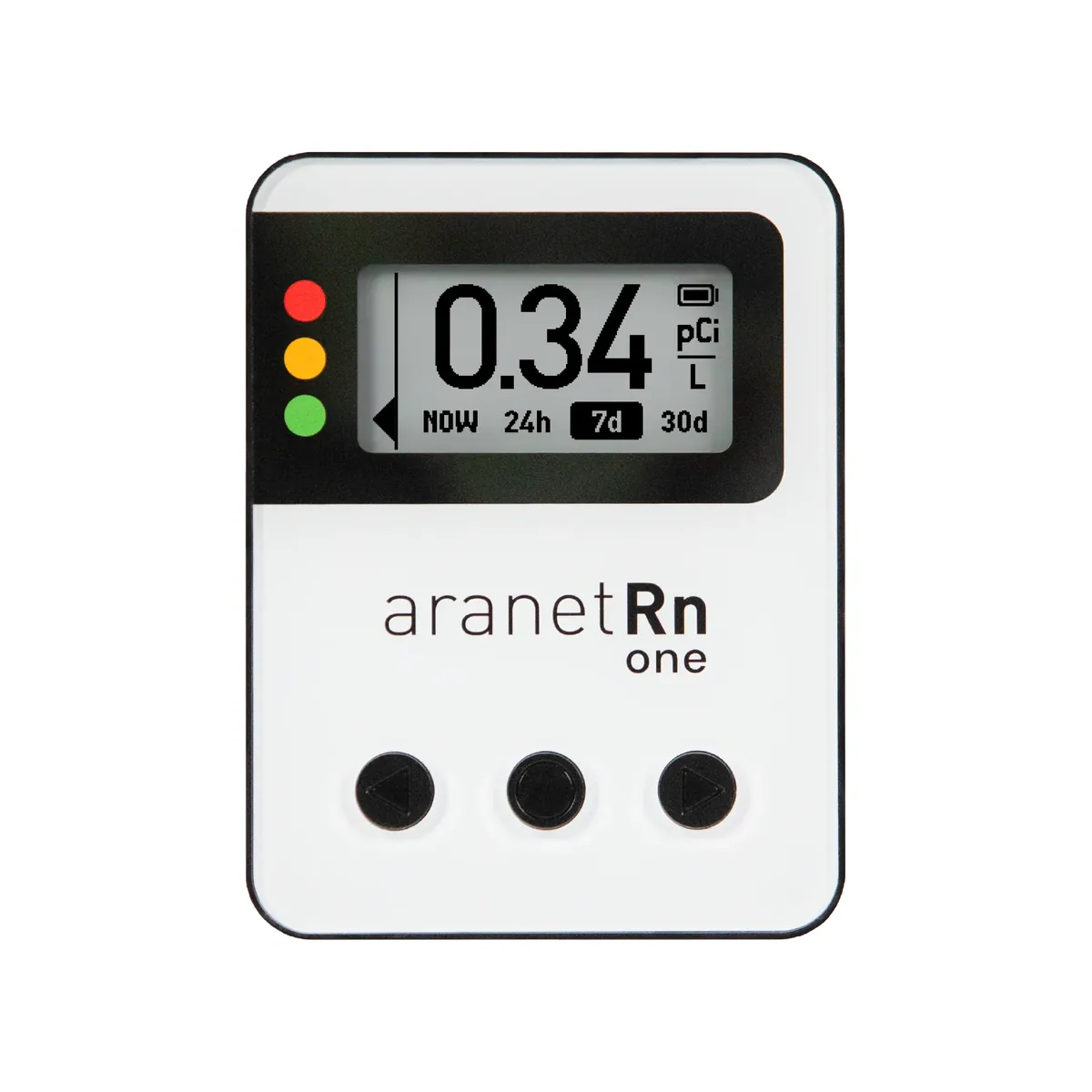
MonitorAranet
Method: Ion chamber
First reading: Within 10 minutes
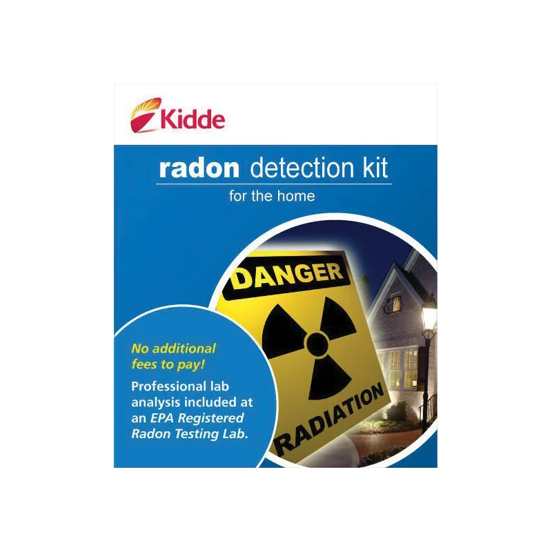
Short-term kitKidde
Method: Charcoal
In home: 3 days
Test kits and monitors: 1 of 3
Nemaha County is in EPA Zone 1, the highest predicted radon potential. Best radon monitors for Zone 1 counties like Nemaha County
Explore
Nemaha County, Bordering counties
72.6%at or above 4 pCi/L
Median 5.9 pCi/L · 405 tests · 13.9 points above Nemaha County
68.0%at or above 4 pCi/L
Median 7.4 pCi/L · 25 tests · 9.3 points above Nemaha County
42.9%at or above 4 pCi/L
Median 3.5 pCi/L · 49 tests · 15.8 points below Nemaha County
37.5%at or above 4 pCi/L
Median 3.0 pCi/L · 96 tests · 21.2 points below Nemaha County
33.1%at or above 4 pCi/L
Median 2.9 pCi/L · 151 tests · 25.6 points below Nemaha County
13.3%at or above 4 pCi/L
Median 0.8 pCi/L · 83 tests · 45.4 points below Nemaha County
Nemaha County, Cities and towns
About 10,054 people live in Nemaha County by the Census Bureau's estimate for July 1, 2025, 214 fewer than in 2020 (−2.1%). That works out to 14 people per square mile of land. Sabetha, the largest place on its list (2,474 residents in all), extends beyond Nemaha County, so no share of the total is worked out for it. CDC's 75 reported tests for 2016 work out to 7.5 per 1,000 residents (2025 estimate), close to Kansas' 5.8.
From Sabetha to Oneida, CDC publishes no figure by town: each reads Nemaha County's.
| Place | Residents | Since 2020 | Share of residents |
|---|---|---|---|
| Sabethaextends beyond Nemaha County | 2,474 | −2.6% | Counted whole |
| Seneca | 2,139 | +0.5% | 21.3% |
| Centralia | 485 | +1.5% | 4.8% |
| Wetmore | 338 | −3.4% | 3.4% |
| Corning | 206 | −2.8% | 2.0% |
| Bern | 161 | −3.0% | 1.6% |
| Goff | 107 | +0.9% | 1.1% |
| Oneida | 58 | −3.3% | 0.6% |
8 incorporated places, as listed in the U.S. Census Bureau’s 2020 place reference files. Residents: U.S. Census Bureau population estimates for July 1, 2025 (Vintage 2025). A place that extends beyond Nemaha County is counted whole, so it has no share.
Nemaha County, Homes
Nemaha County is a place of houses on their own lots: 82% of its 4,501 homes are detached single-family houses, against 72% across Kansas. Half of its homes were built before 1974, close to Kansas' 1975: 38% date from before 1960 and 21% from 2000 or later. Owners live in 79% of the occupied homes (Kansas: 67%), so for most households a test and a fix are their own to order.
| Homes | Nemaha County | Kansas |
|---|---|---|
| Housing units | 4,501 | 1,285,221 |
| Detached houses | 82% | 72% |
| In buildings of 5 or more | 6% | 13% |
| Mobile homes | 4% | 4% |
| Built before 1960 | 38% | 33% |
| Built since 2000 | 21% | 20% |
| Middle year built | 1974 | 1975 |
| Owner-occupied | 79% | 67% |
Census Bureau, American Community Survey, 2019 to 2023: estimates from a sample of homes, looser for a small place. Shares by Radon411.